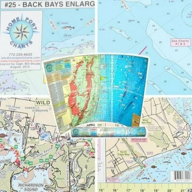
The Home Port Chart #25 Back Bays Enlargement, covering Townsends Inlet, Hereford Inlet & Cape May, is laminated and waterproof, with color coded depth and contour curve lines. Includes sea bed information, local police and US Coast Guard phone numbers, and more helpful information.
Home Port Charts produces the most up to date and boater friendly charts available. Should not be used for navigation. This chart provides guidance and reference only. Reading depth by water color, local knowledge, and NOAA navigation charts are your most valuable navigation aids.

Home Port Chart - #25 Back Bays Enlargement Townsends Inlet to Cape May Inlet
Qty:
